In which we see no whales


The sailing was, in fact, a lot of motorsailing. Because of the threat of weather, we tended to hammer along with the four lowers set, and a shallow reef in the main – this is enough sail to steady the ship in rougher seas, and add an unexpected bit of speed to the engine power, but it is also enough to feel relentless and loud when it keeps going. We again spent the first two days in the Gulf Stream, so all our forward motion was augmented with a steady 3-4 knot shove from that. This part of the trip we did not heave to, and did not move inexorably north, completely sideways, at four knots. Instead we forged ahead more or less due north at, generally, roughly seven knots. There was one day where wind and current combined to get us to nearly 9.5 knots without the engine, which was deeply gratifying. Honestly, everyone perked up and was pleased with themselves that day. It mostly made up for a pretty miserable previous day where two of us got massive migraines, and the ship was pitching and heaving and wallowing in the crossing seas of winds from the north roughing up the current heading that way.
The Gulf Stream (did I say this already?) is a ridiculously lovely clear blue-purple color. I was deeply grateful to the instruments in the lab, and I got so attached to them that the science staff taught me how to do the hourly reports. I can say with authority that the Gulf Stream is substantially warmer and saltier than the US coastal waters, and that there is less Chlorophyll A in it than in coastal waters, and that the planktonic load is lighter. I got one of the visiting specialists interested in the edges of the Gulf Stream too – and we were watching the instruments and looking back over the readings trying to find where and when we’d left it.
This is where I admit that I had thought of the edges of the Gulf Stream as being much more definite – in/out, yes/no, here/there. And what was brought home to me, and what I think will inflect my thinking a lot about the work I want to make about the Gulf Stream, is that everything in nature is a gradient. There are nearly no hard lines. I was talking to the Center for Coastal Studies man and musing about lines in nature and my own words teaching about GIS came back to haunt me: raster tends to be best for natural phenomena such as elevation, rainfall, etc., while vector representations are generally manmade things – political divisions, roads, power lines – OR manmade distinctions, like contours in elevation. I was looking for a line, a manmade distinction, and what we traversed was a gradient. A very steep gradient, but it was still sliding between one thing and another.
This reminder about gradients rather than hard lines has opened a whole new way of thinking about representing the Gulf Stream in the pieces I am planning – I am awash in notes and theories and it feels exciting.
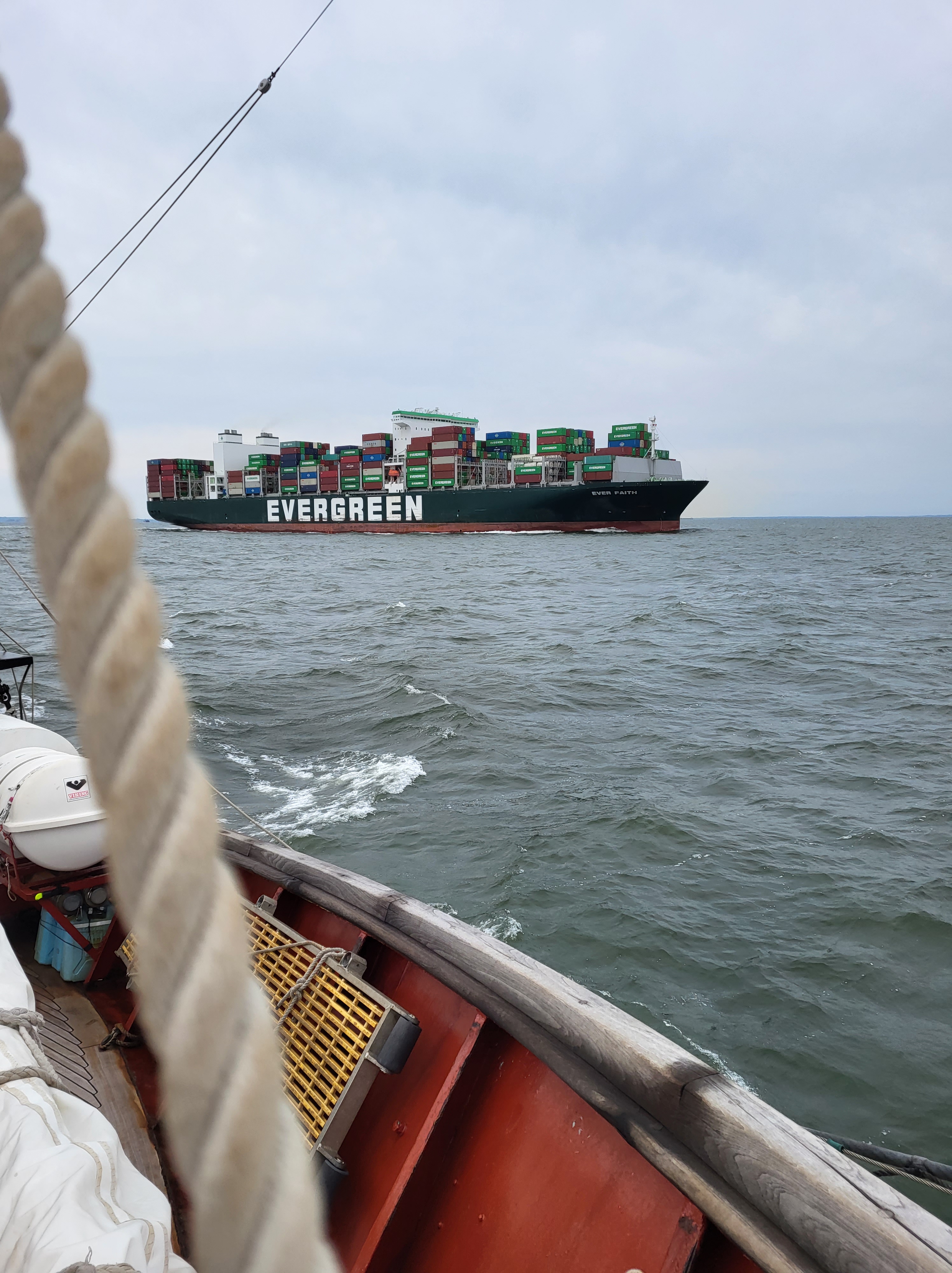
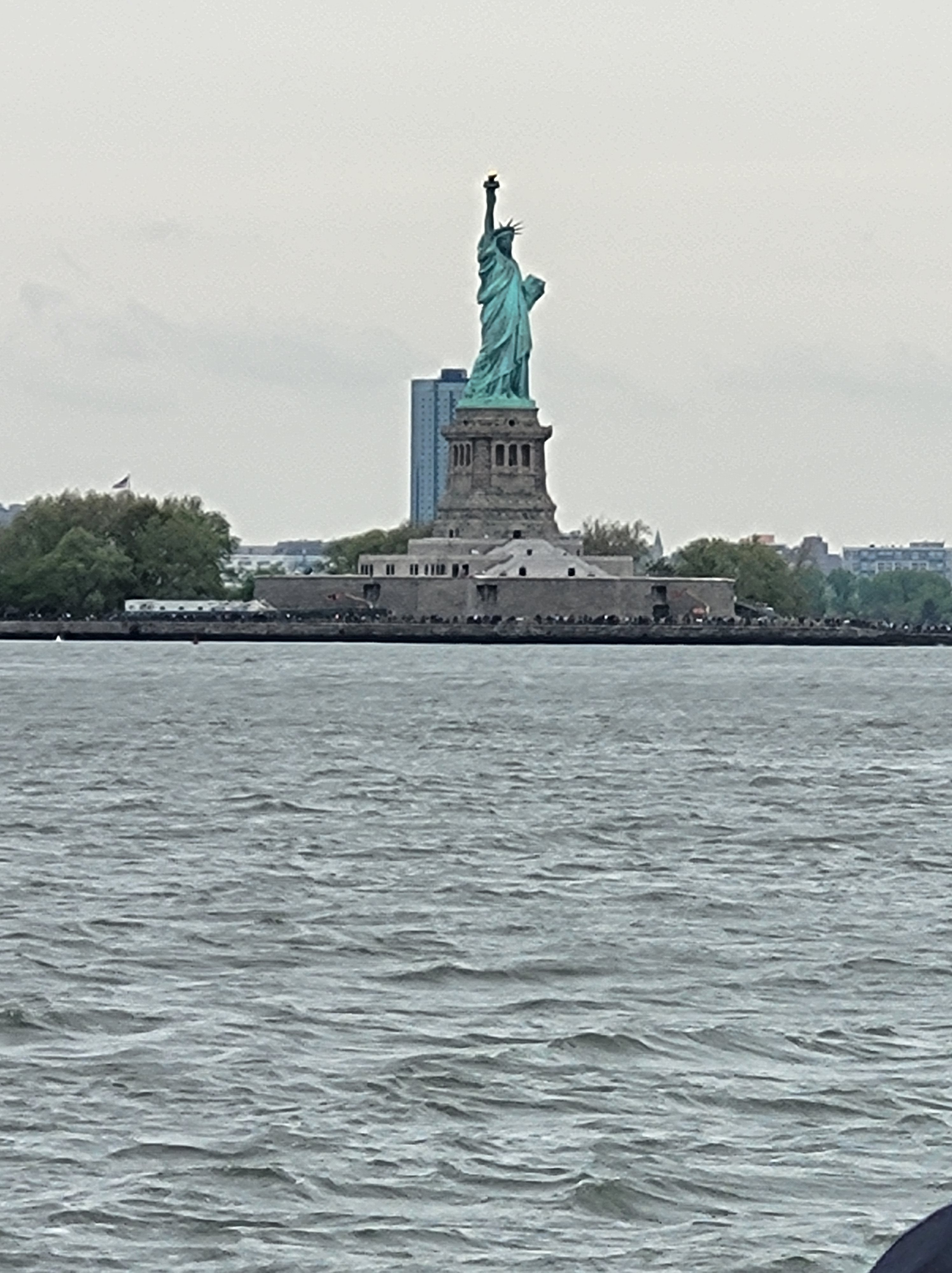
This morning early I was awakened by a large noise, and went on deck to try to see what our approach to NYC looked like. From fifteen miles out, it looked like a field of oil tankers – I could count ten in the pre-dawn light, and there seemed to be more ship IDs on the plotter. NYC itself was a hint of glimmering lights juuust over the horizon, and I am still not clear what I was looking at. As we approached the Verazzano narrows, we pulled in behind two oil tankers headed to NJ for processing. While we were in the channel we were overtaken by one of the Evergreen fleet (yes, I was absolutely hoping it would run aground) and it was reported that when asked how he would like to meet (the polite terms at sea for “which way ya going?? Ahead of me or behind me?”) their captain replied “you go one side or other, I take middle” and they steamed past us at an astonishing speed.
We pulled in just in time too – a north-easter is brewing, and it is cold and wet and rainy – better to be in Brooklyn than on the high seas. Even better to have new long underwear to keep me warm for the next leg!
