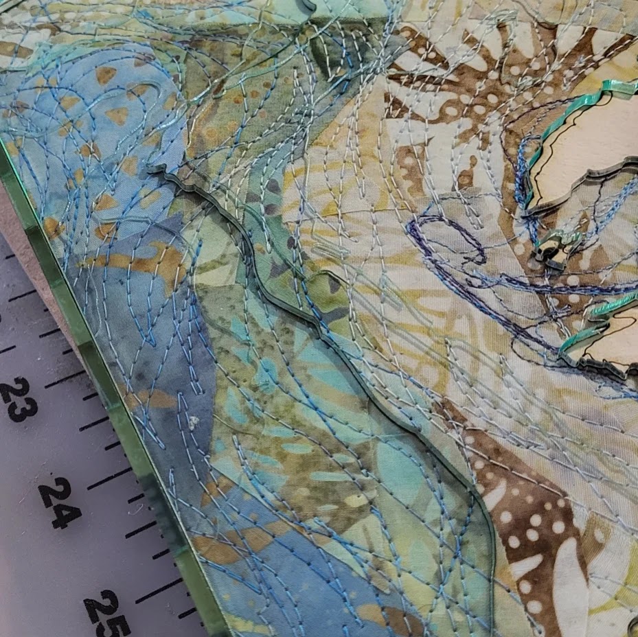
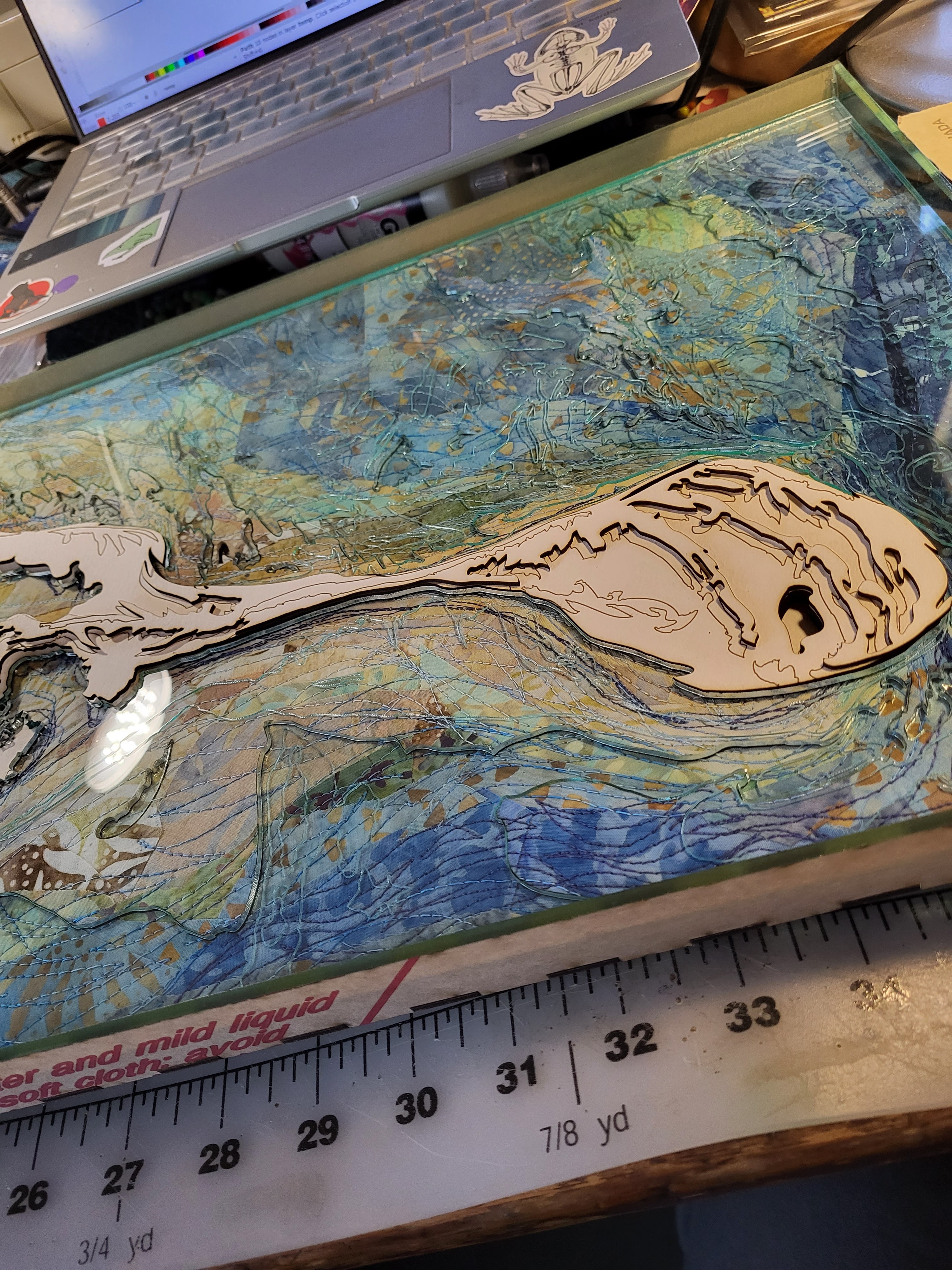
I have been struggling to photograph my most recent work. It has layers of plexiglass, and everything reflects (when it doesn’t have fingerprints, dust or bits of thread on it) and capturing the depths of the work is hard.
This one is Monomoy Island, south of Chatham, on Cape Cod, Massachusetts. In 1979 a winter storm broke through the center of it, and I was so stunned by the idea of change in the environment I’ve paid attention to what the coastline there looked like ever since. Landsat imagery has given us a historical record for the last nearly-fifty years, so I pulled twelve images that showed the most dramatic shifts of the coastline, and used those to draw in the coastlines. The lines are stitched onto a fabric collage where fabric color indicates ocean depth. Then the fabric is sliced along contour lines, and draped over a cardboard elevation model, with plexiglass layers representing ocean at each depth. The top plexiglass layer is sea level, even with the modern coastline.


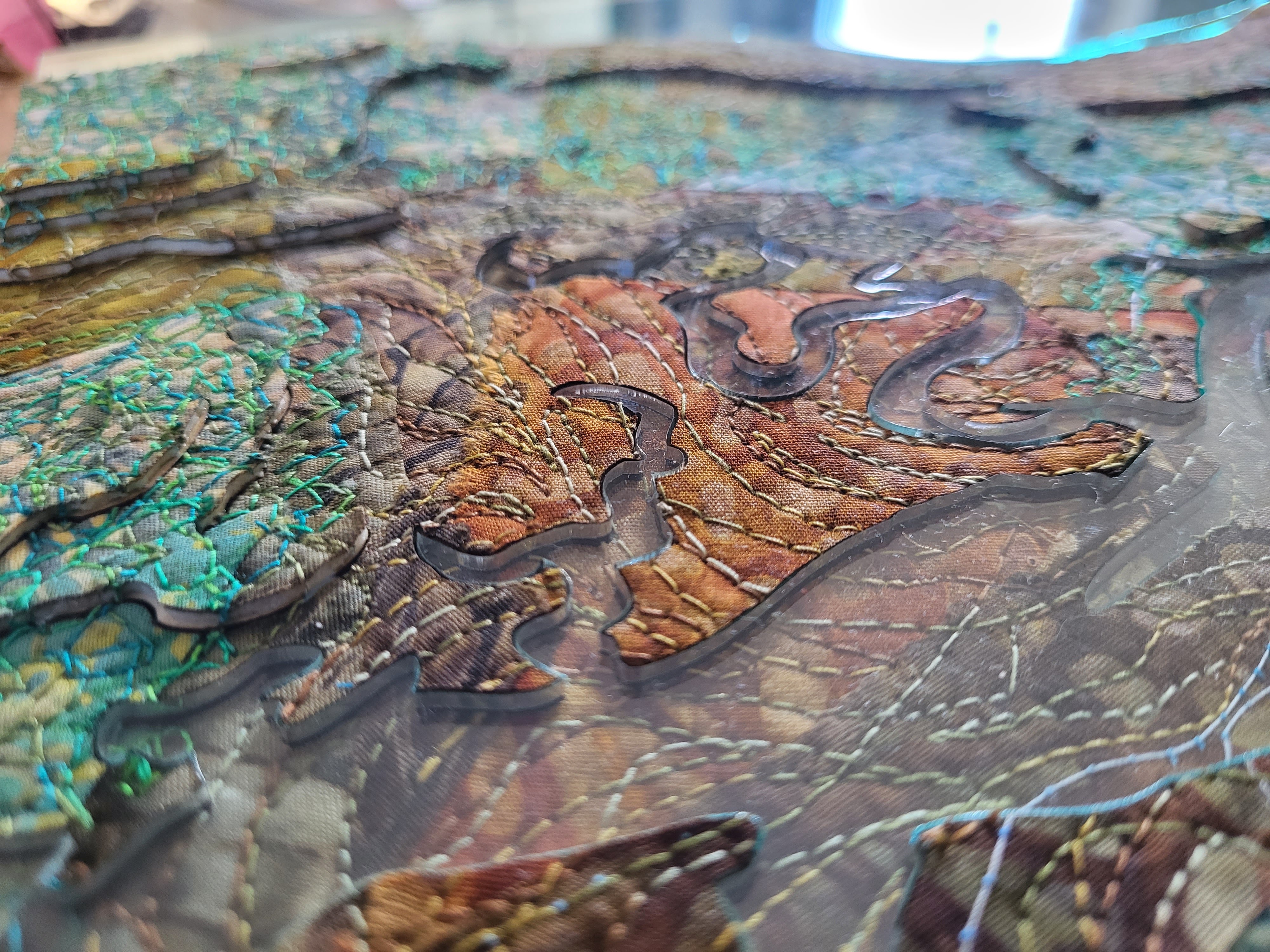
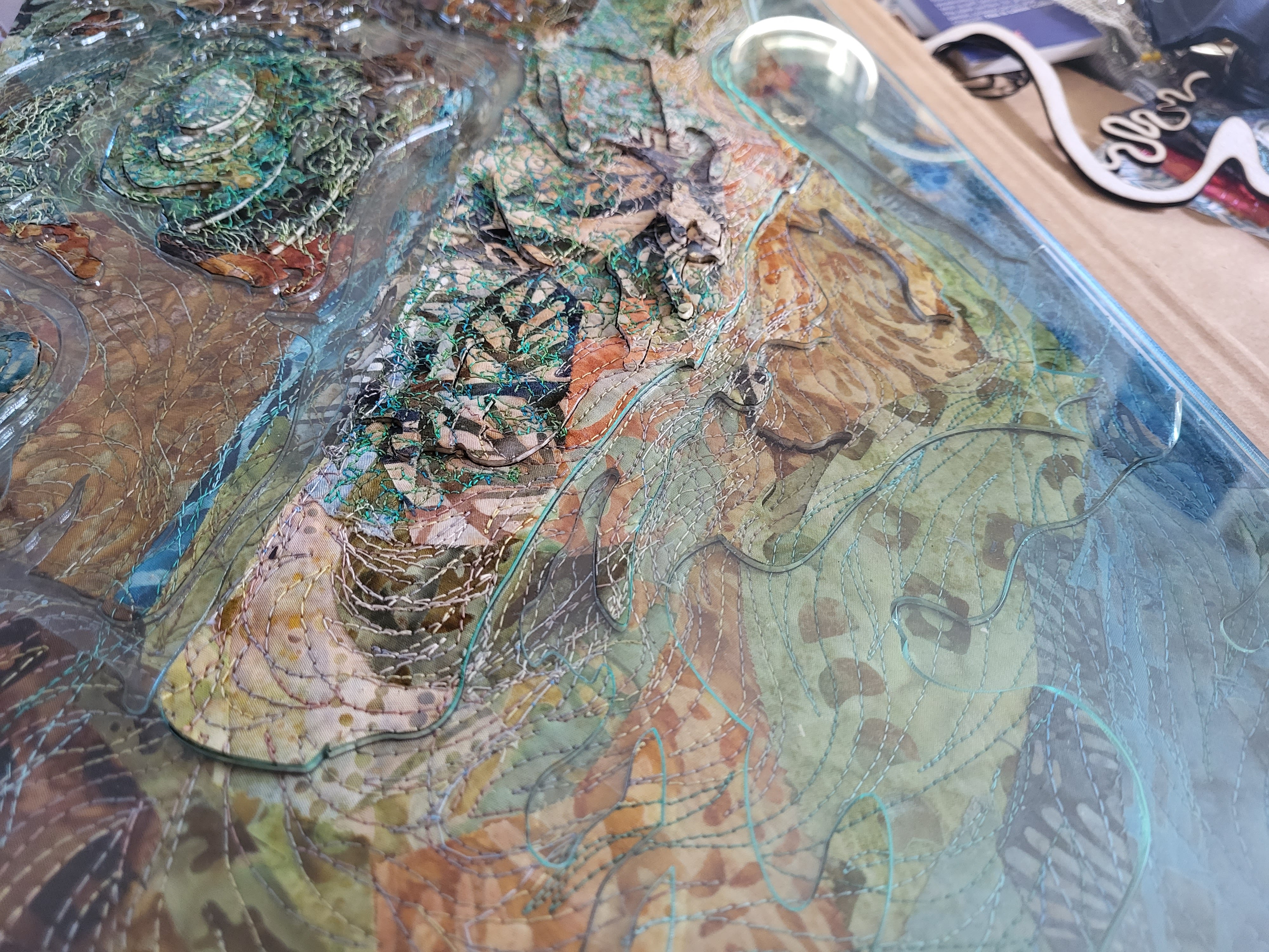
This piece is Cranes Beach in Ipswich, Massachusetts, on the coast north of Boston. This highlights the marsh and island ecosystem that exists behind the barrier beach.


These are going to a professional photographer who will have the right tools and knowledge to get pictures. Thank you Steven Petegorsky for having the the chops to accomplish this.

This is INCREDIBLE. I just… wow. WOW so beautiful.
LikeLike
A gorgeous mix of science, technology, and art!!!! Brilliant 👏
LikeLike
I do so love maps and very much look forward to seeing what your photographer is able to capture of your work … a fascinating project all around
LikeLike