new river sections!
When I start choosing new sections of river to build into boxes, I have to start with digital data. I have a digital elevation model (DEM) and sections of the national database that includes rivers, water bodies and flow lines for streams. When I get it all into a geographic information system, it looks like this:
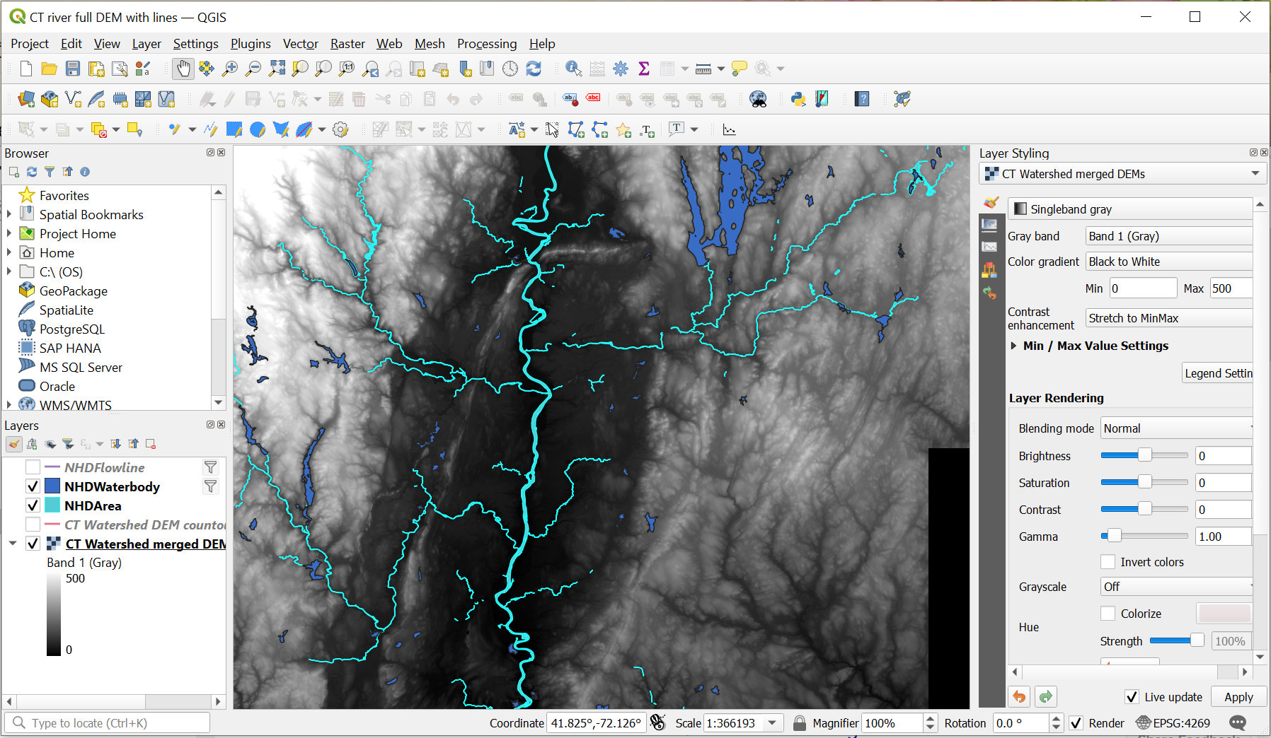
I use an open source GIS called QGIS, and it lets me see the layers I have, manipulate them, and extract the area I am interested in. Here you can see elevation (brighter is higher elevation) and the rivers and waterbodies along the Connecticut River. The big blue lake is Quabbin Reservoir, where Boston drinking water comes from.
Once I have the pieces of landscape I am interested in on the screen, I export a file of linework. It looks like this:

Then I make a little box, and clip out sections of the river that will be turned into little boxed landscapes. The end result looks like this:
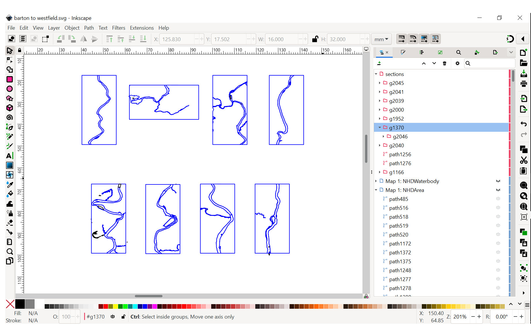
If you look closely at the little boxes, you can figure out which sections of river they are.
This is the first half of the process. Once I have linework, the laser cutting can begin. I’ll show that next week!
